GIS/Mapping Team
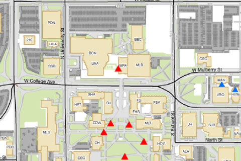
The GIS/Mapping Team creates visual and data-driven maps for the Emergency Operations Center. These maps help visualize current reports and conditions, predict future conditions, and help provide a basis for decision-making. The team is staffed by faculty members from the Department of Geography/Geology. The team contact is John Kostelnick.